- Whats App: +1(201)825-3565
- 149 Ramview Ave Ramsey, NJ-US
- CONTACTO


AMAZONIA GLOBAL ES UN ECOHUB – REGIONAL
Es una plataforma de múltiples partes interesadas con base en el lugar que cataliza la acción de base a nivel de ecosistema para el desarrollo regenerativo.
Nuestro objetivo es apoyar a las comunidades locales para que logren su visión compartida de un futuro próspero y resiliente en armonía con la naturaleza.
Como iniciativa de EKOLOGICA PBC (Ramsey, NJ y territorio amazónico), unimos telemetría satelital Copernicus, relevamientos GNSS sub-métricos y contratos de custodia directa para canalizar recursos tangibles a los guardianes del bosque nativo.
recent projects
Map-Based Solutions with verified GPS boundaries, satellite MRV, and indigenous community stewardship.
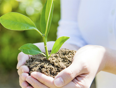
Save a Tree: Centennial Amazonian Giants
Cadastral Polygon : TCO-YM-TREE-019
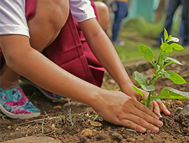
Save the Forest: TCO Y-M Primary Canopy Protection
Cadastral Polygon : TCO-YM-ZONE-A
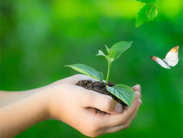
Save Biodiversity: Jaguar & Tapir Biological Corridor
Cadastral Polygon : CORRIDOR-JAGUAR-04
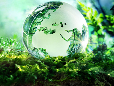
R-Carbon Footprint: Precision Spatial Offset
Cadastral Polygon : R-CARB-POL-108
R-Water Footprint: Headwater Springs & River Basin Protection
Cadastral Polygon : R-WATER-ZONE-09
PES: Payment for Ecosystem Services - Forest Stewardship
Cadastral Polygon : PES-CONTRACT-001
what we do
End-to-end technological, scientific, and financial architectures for environmental ecosystems.
Programs and Projects Development
Design, geospatial baseline structuring, and legal setup of scalable conservation and bioeconomy pro...
read moreMRV as Third Party (Monitoring, Reporting & Verification)
Independent, multi-sensor satellite telemetry and drone LIDAR verification providing tamper-proof en...
read moreTraceability & Blockchain Integration
End-to-end cryptographic provenance connecting physical trees, seed harvests, and carbon units to de...
read moreSustainable & Green Bonds Structuring
Issuance frameworks and spatial key performance indicators (KPIs) for green debt instruments and sov...
read moreRWA Tokenization (Real-World Assets)
Fractional, compliant digital representation of verified biological assets, standing timber stewards...
read moreTechnical Assistance & GIS Advisory
On-the-ground capacity building, drone flight training, indigenous cartography, and spatial data inf...
read moreFocused Causes & Products
Choose between impactful conservation gifts, ecosystem service offsets, or regenerative investments.
Raised:$11,450
Goal:$15,000
Save a Tree: Centennial Amazonian Giants
Direct georeferenced adoption of individual centennial mother trees in the Yuracaré-Mojeño...
donate Now
Raised:$38,750
Goal:$50,000
Save the Forest: TCO Y-M Primary Canopy Protection
Defend high-conservation-value primary rainforest from agricultural expansion and illegal...
donate Now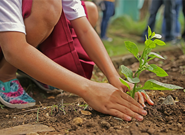
Raised:$22,400
Goal:$30,000
Save Biodiversity: Jaguar & Tapir Biological Corridor
Installation of camera traps, acoustic monitors, and bio-corridor protection for the endan...
donate Now
Witness Verifiable Regeneration in Action
PAQUETES Y CUSTODIA AMBIENTAL
Adquiera árboles nativos, compense huellas de carbono y custodie hectáreas en los meandros del Río Acre con visor satelital interactivo.
UPCOMING EVENTS & FIELD MISSIONS
On-the-ground MRV expeditions, indigenous community assemblies, and sovereign satellite verification events.
15
Mar
How Independent Satellite MRV is Ending Amazonian Greenwashing
Satellite constellations and sub-meter drone LIDAR are bringing unforgeable transparency to carbon and biodiversity accounting.
explore details
28
Feb
Indigenous Sovereignty & The TCO Y-M Model in Practice
How community-led GPS mapping and communal titling safeguard 45,000 hectares of primary Amazon rainforest.
explore detailstop sponsors & strategic partners
Collaborating with leading research institutions, space agencies, and sustainable finance networks.